January 28, 2012 - $100 Breakfast at Butter Valley Golfport, PA |
|
I hadn't flown in a few weeks and Saturday's forecast looked promising. Bruce R. and I
wanted to fly and needed justification, so we decided to go have breakfast/lunch
at Butter Valley Golf Port Airport (7N8) northwest of Philadelphia.
We rendezvoused at Cecil County Airport (58M) which is at the top of the
Chesapeake Bay.
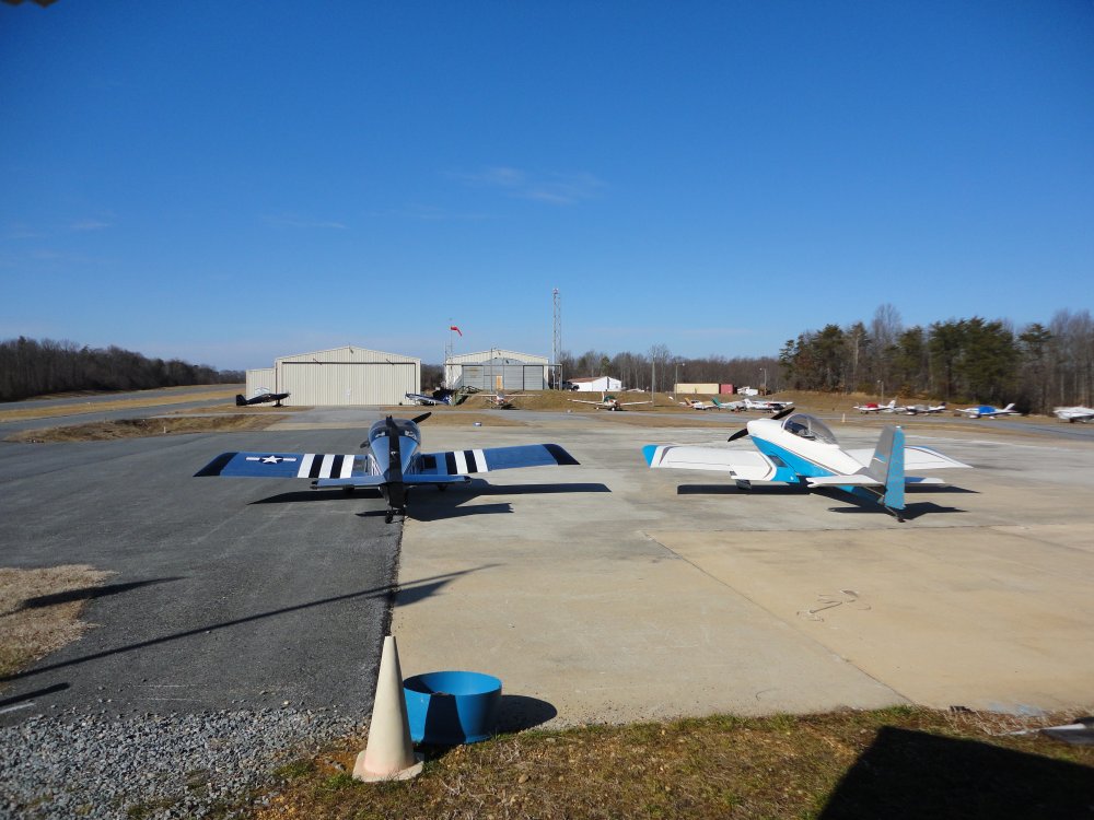
Here we are parked on the ramp at Cecil County. It seems
there are RVs everywhere I go these days. Just to
the left of my RV's nose is a Harmon Rocket and an RV-8 to
the right. |
|
 |
|
|
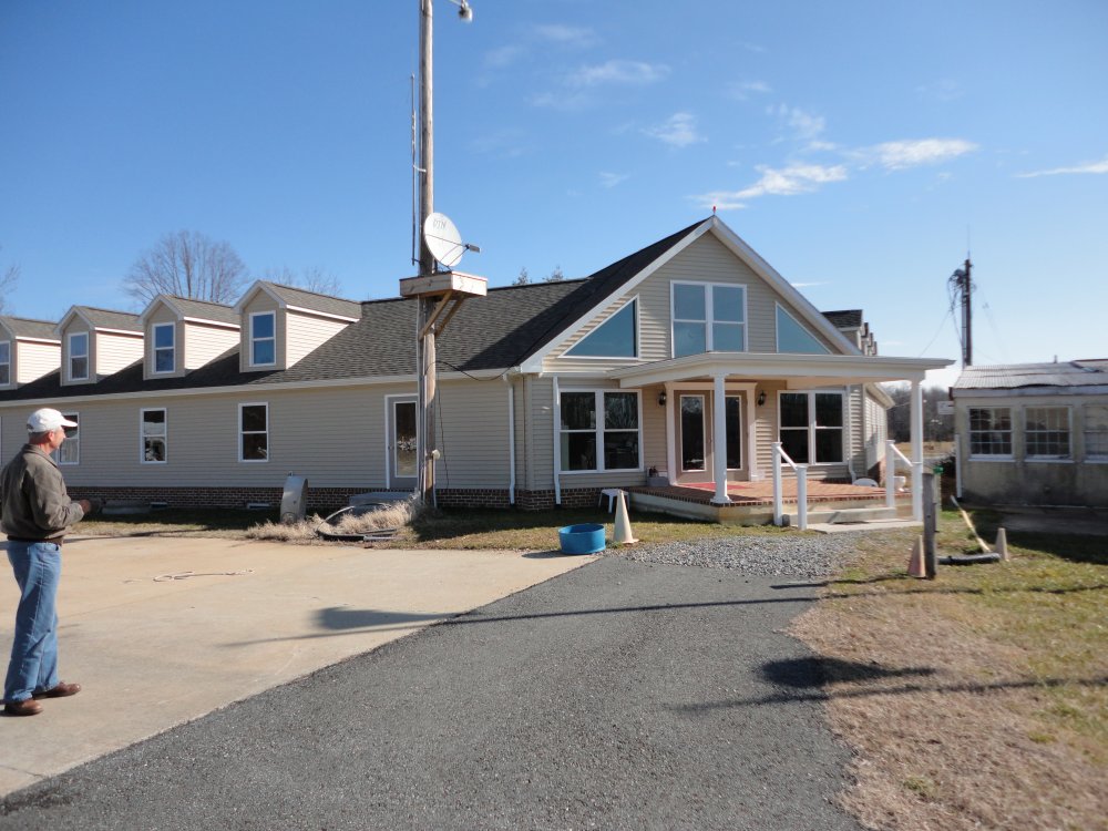
The last time I landed here was back
in 2006 in the Citabria. Now they have a brand-spanking new FBO terminal building which is very
nice. The old terminal building is just to
the right and will be torn down
eventually. |
|
 |
|
|
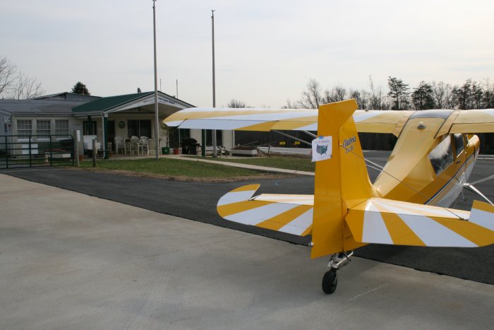
Flash from the
past. |
|
 |
|
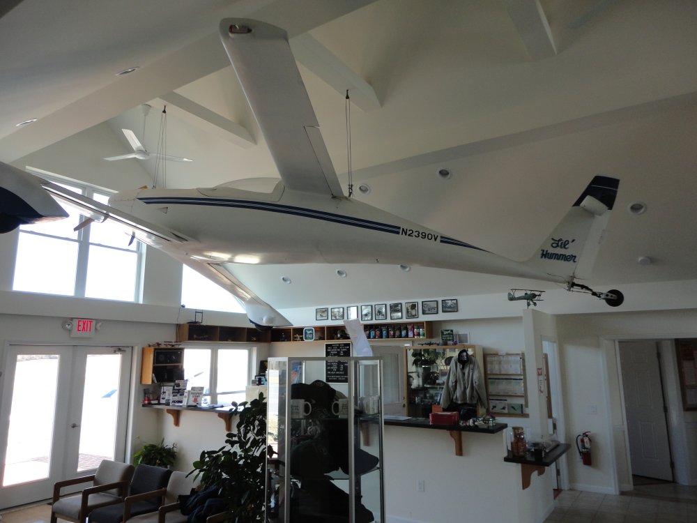
| The main lobby
with a Burt Rutan designed Quickie. This
is a Q2 which was the two-seat version. |
|
 |
|
|
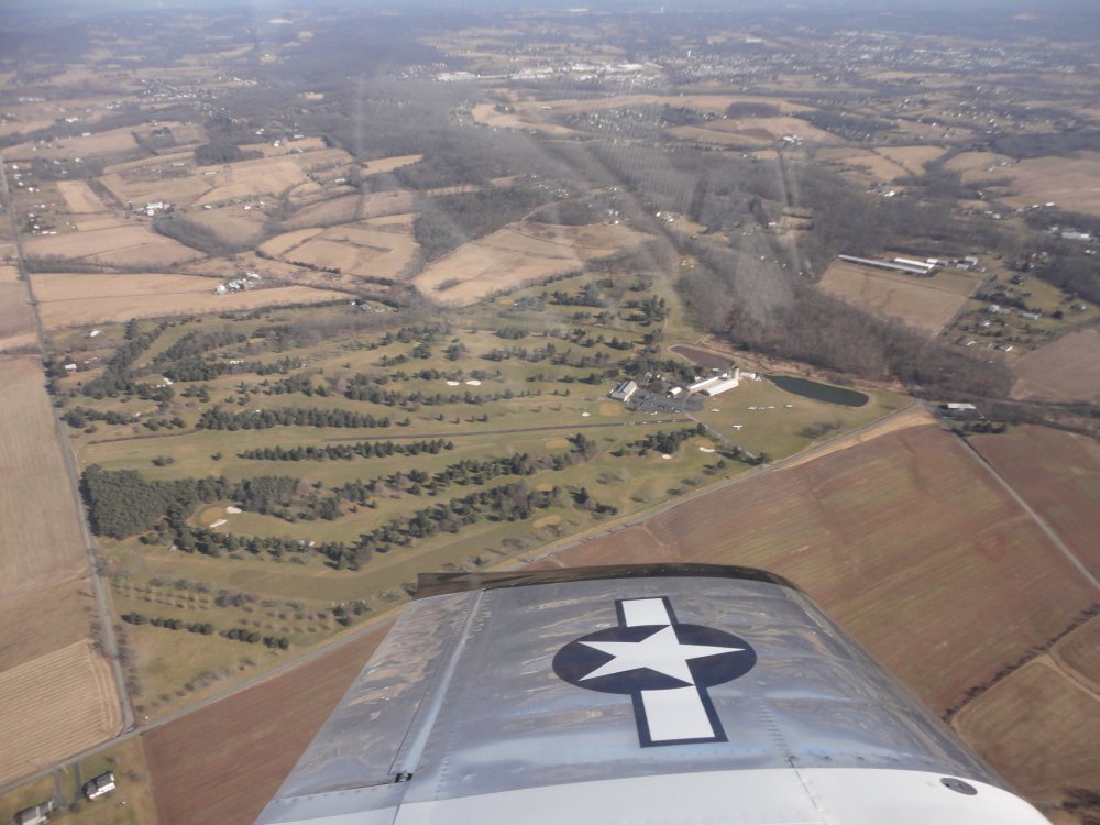
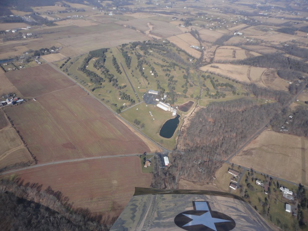
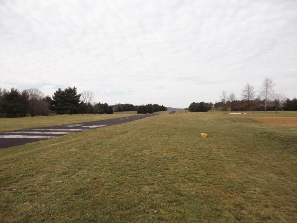
We left Cecil County and headed north
about 70 miles to Butter Valley, seen below. You can see the
runway right in the center of the golf course. |
|
 |
|
| Although the
runway is listed at 2400 feet long, only about 1500 feet of that is
asphalt, the rest is grass. Not that there is anything wrong
with that,. |
|
 |
|
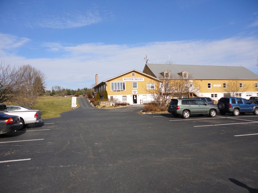
| Of course, every
golf course has the clubhouse and restaurant. |
|
 |
|
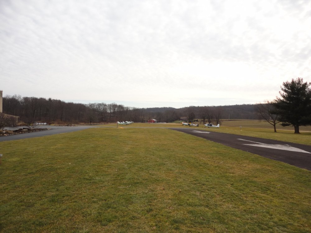
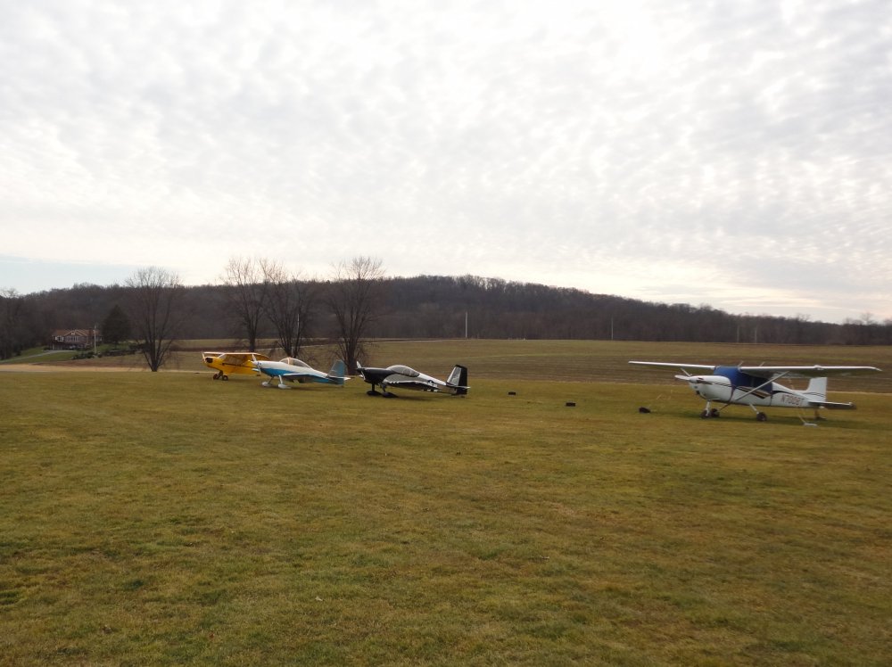
| Transient parking
is at the end of the runway on the grass, a short walk from the
clubhouse. |
|
 |
|
|
The runway has a pretty good dip in
the middle! |
|
 |
|
|
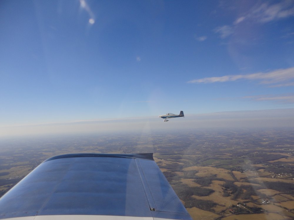
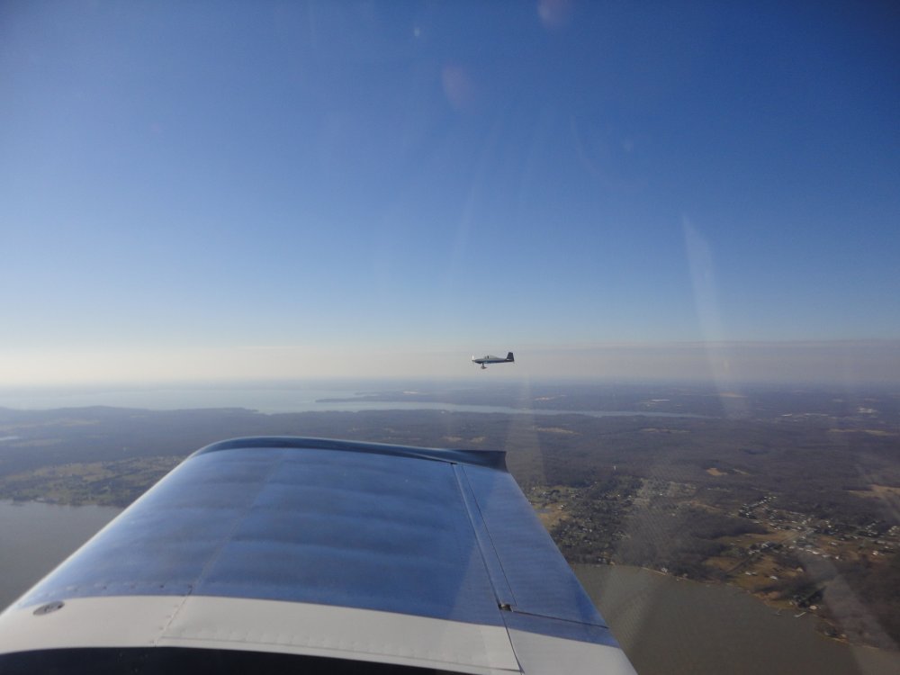
That pesky yellow Cub keeps following me around!
I thought my breakfast was superior, but maybe that is because I have
been drinking Slimfast shakes for the last three weeks, and I was just
ravenously hungry for some real food. |
|
 |
|
|
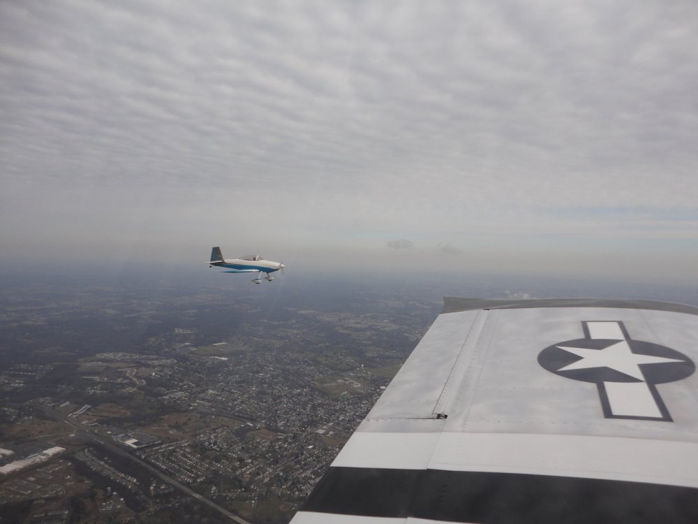
Bruce and I headed home. We
enjoyed a great tailwind flying to Butter Valley, but going home the
opposite way we paid the price. Plus there was medium turbulence
both ways. Still, it was good to be flying again. I
really miss it if I skip a weekend. |
|
 |
|
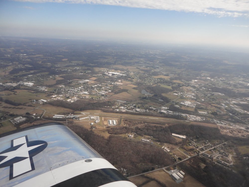
| Flying past New
Garden Airport (N57) which I like to call the Sedona of the East.
Now that I have actually flown into Sedona I can say it's not really even
close. |
|
 |
|
| The overcast
disappeared as we got near the Chesapeake Bay. |
|
 |
|
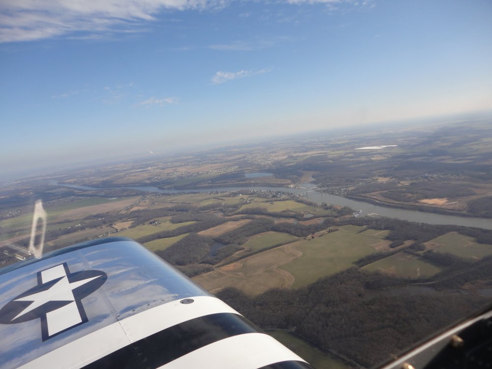
| Flying south and
looking East, I can see the Chesapeake
and Delaware Canal that links the Chesapeake Bay to the Delaware
River. 14 miles long, it was first operational in 1829.
Capable of handling deep ships it carries 40 percent of all ship traffic
in and out of the Port of Baltimore. |
|
 |
|
|
The Chesapeake Bay off to the
west. |
|
 |
|
| Bruce and I split
up near Massey Aerodrome. I throttled back to 1900 RPM and -- more
importantly -- down to 6 gallons per hour and did some low and slow for
awhile over the Eastern Shore. |
|
 |
|
|
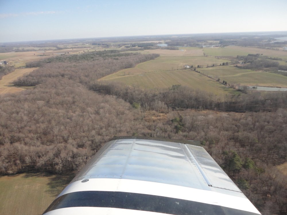
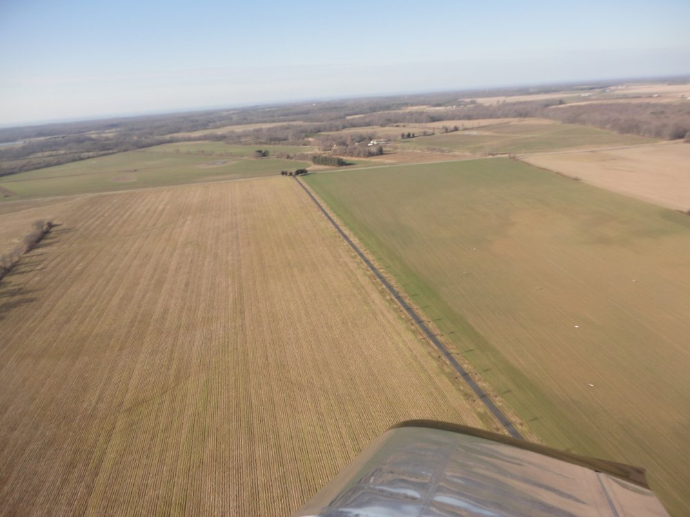
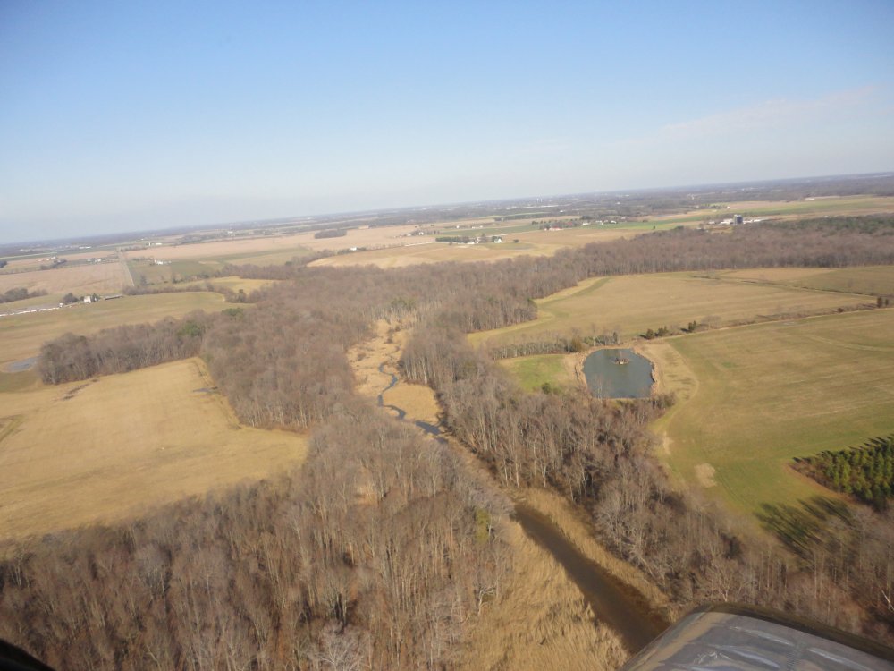
This isn't the most scenic time of
the year but it was still good. |
|
 |
|
| The pictures don't
do what I saw justice. |
|
 |
|
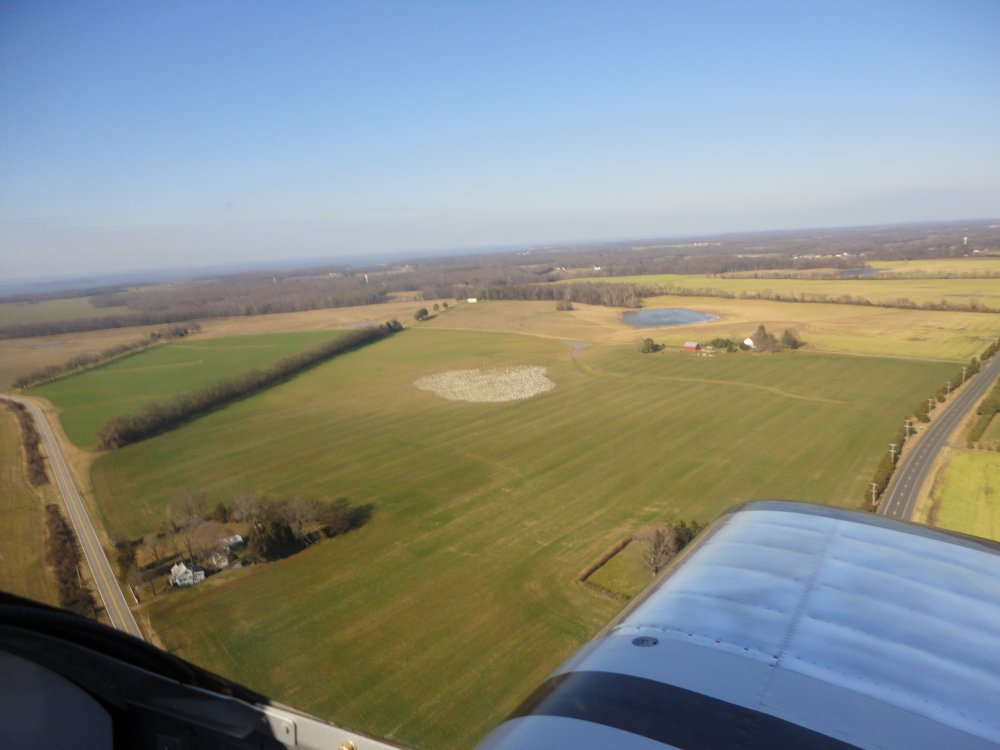
| That white spot in
image center is a huge flock of birds. I played nice and left them
alone. |
|
 |
|
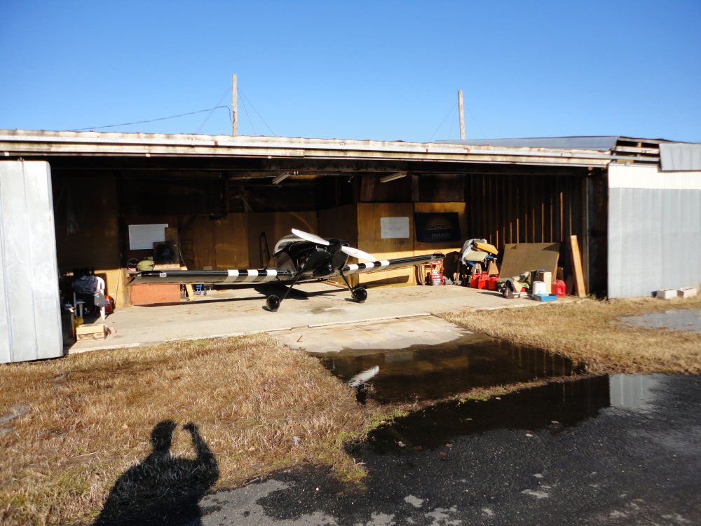
| Flight
complete. Safe on deck. The RV nestled in its
hangar. The
only negative today was that lake in front of
my hangar. It had rained hard the previous day. Everytime it rains
the day before I fly, I know I will have to walk
through a lake to get my plane in and out. |
|
 |
|
| |
|
|
|
|
|
|
|